Day 10
Wed 30 Sep 2026 · trip day 13
Route notes
The itinerary PDF was written for the Annapurna Sanctuary route and has no description for the revised days. The notes below are derived from the tracks and the PDF's general plan, not quoted from it.
Route
The revised plan offers two ways through days 7–10; this day differs between them.
Option A — staged ascent, out east to Siding — Siding to Pokhara
Climbs the ridge in two stages and sleeps at Badal Danda before High Camp, which spreads the altitude gain. After Mardi Himal Base Camp it descends east off the ridge to Siding and leaves by jeep.
Jeep transfer rather than a walk: the road down the Mardi Khola through Lwang and the tea gardens, out to the Pokhara valley at Hemja and on into the city.
The track here follows the road, so the distance is road distance, not walking distance.
Download GPX Siding → Pokhara
Driving route (OSM routing, Copernicus GLO-30 elevations, 20 m hysteresis for gain/loss):
Elevation profile
Maps
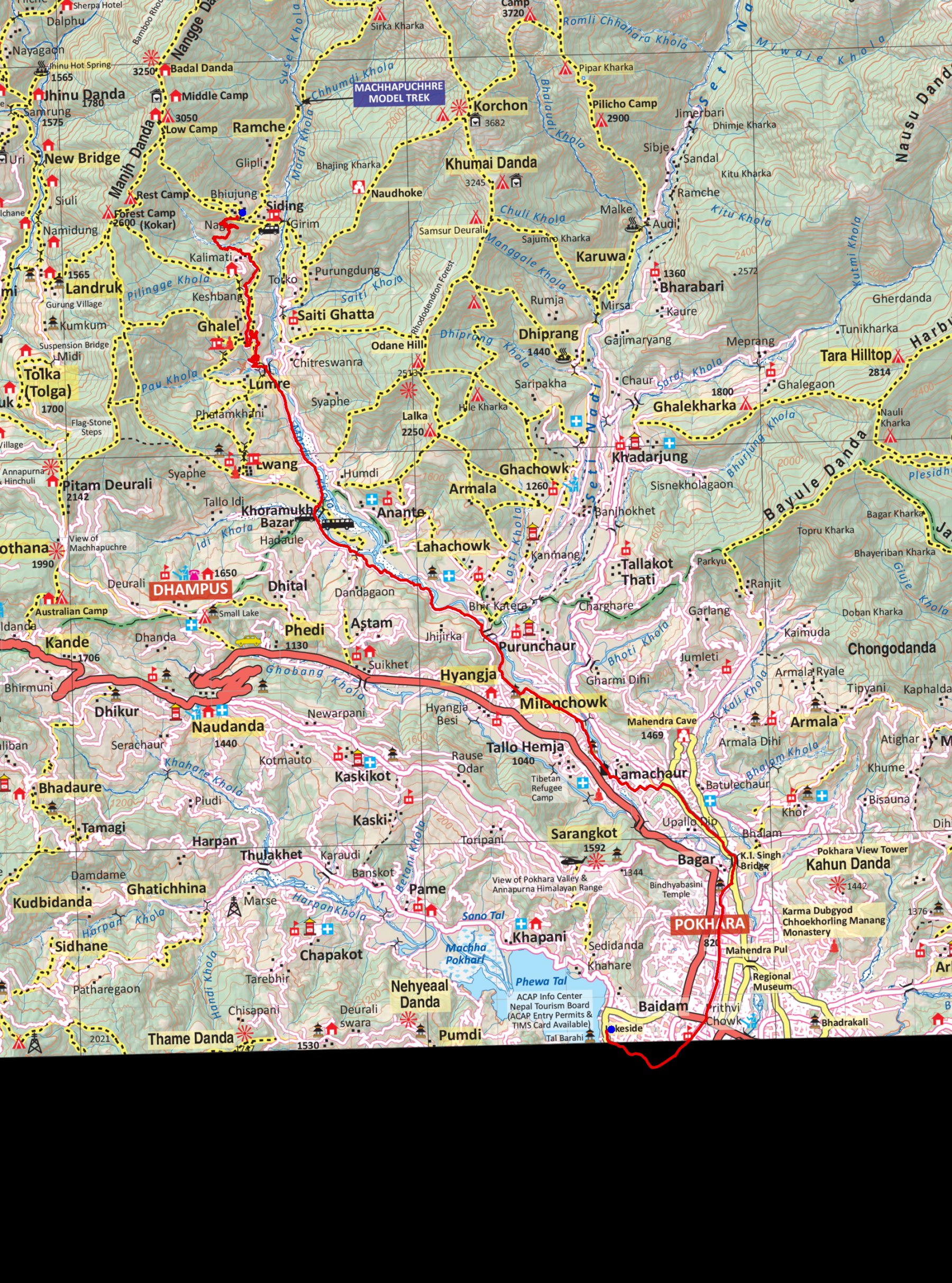
trek/maps/mardi10a_np107.tif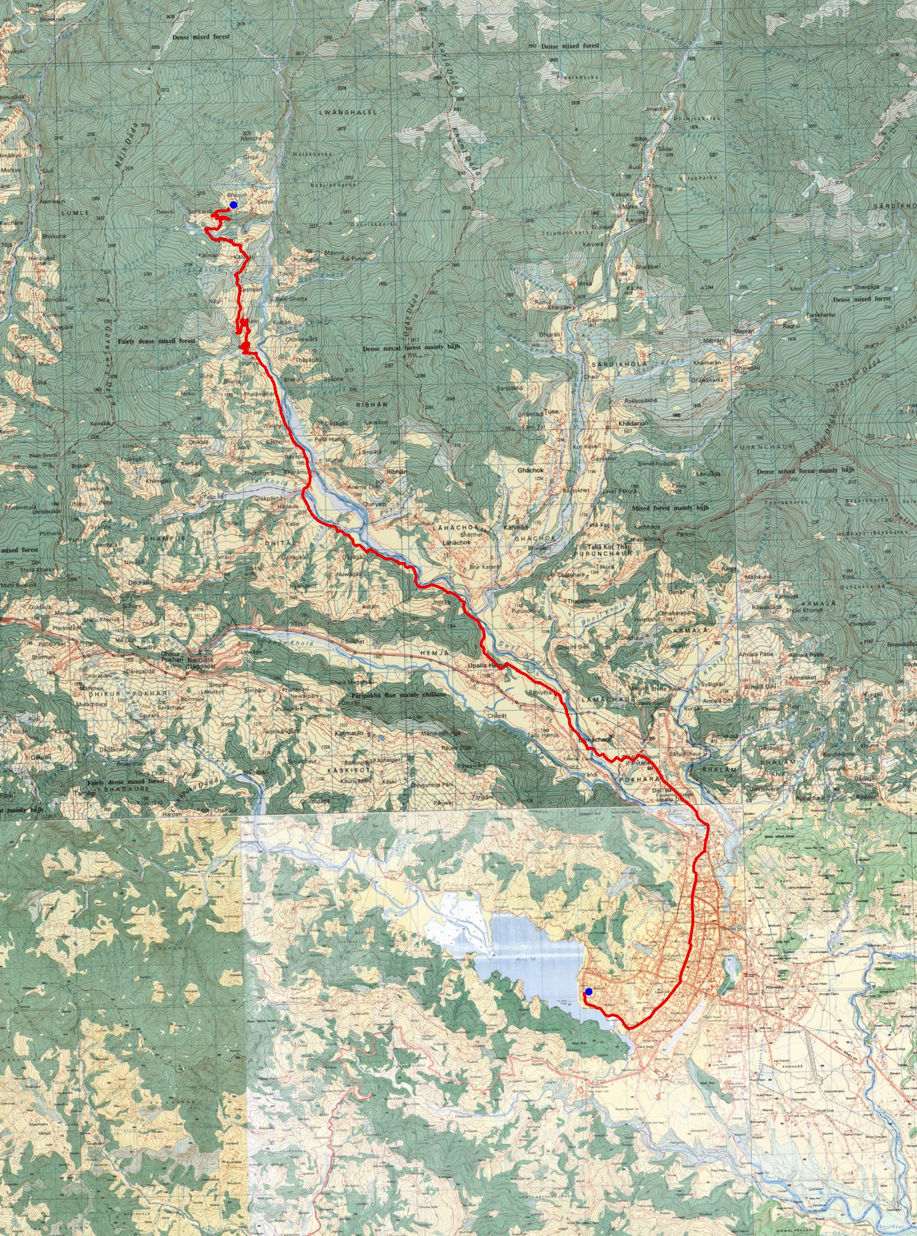
trek/maps/mardi10a_topo.tifOption B — straight to High Camp, walk out south to Kande — Pittam Deurali to Kande
Reaches High Camp in a single climb from Forest Camp, visits Mardi Himal Base Camp from there and drops back to Badal Danda the same day, then walks the length of the ridge out to the road at Kande — two more days on foot and no long transfer.
South along the ridge past Pothana (1,990 m) and Australian Camp, with the last Annapurna South and Machhapuchhre views of the trek.
A short descent then drops to the road head at Kande on the Pokhara–Baglung highway, about an hour from the city by road.
Download GPX Pittam Deurali → Pothana → Australian Camp → Kande
Computed from the track (OSM routing, Copernicus GLO-30 elevations, 20 m hysteresis for gain/loss):
Elevation profile
Maps
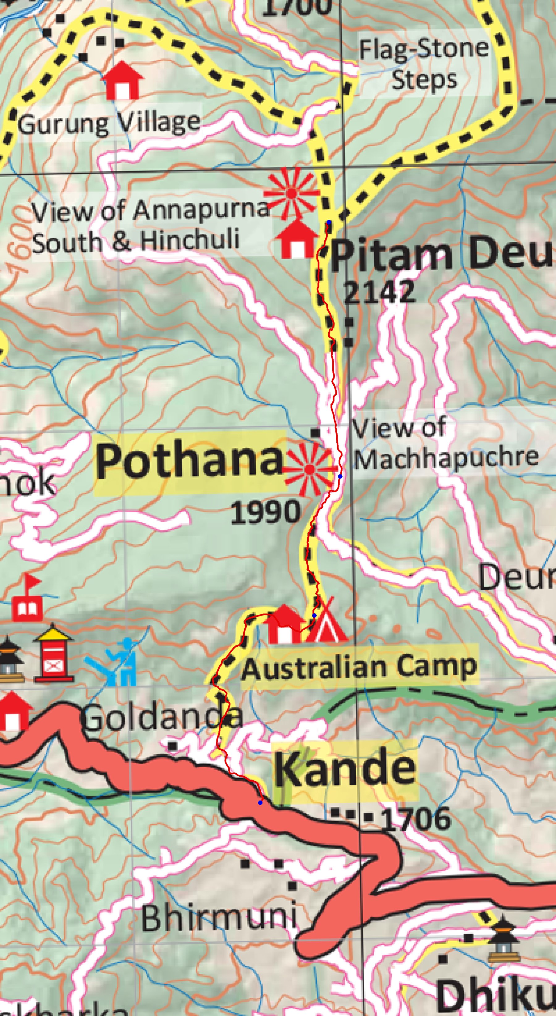
trek/maps/mardi10b_np107.tif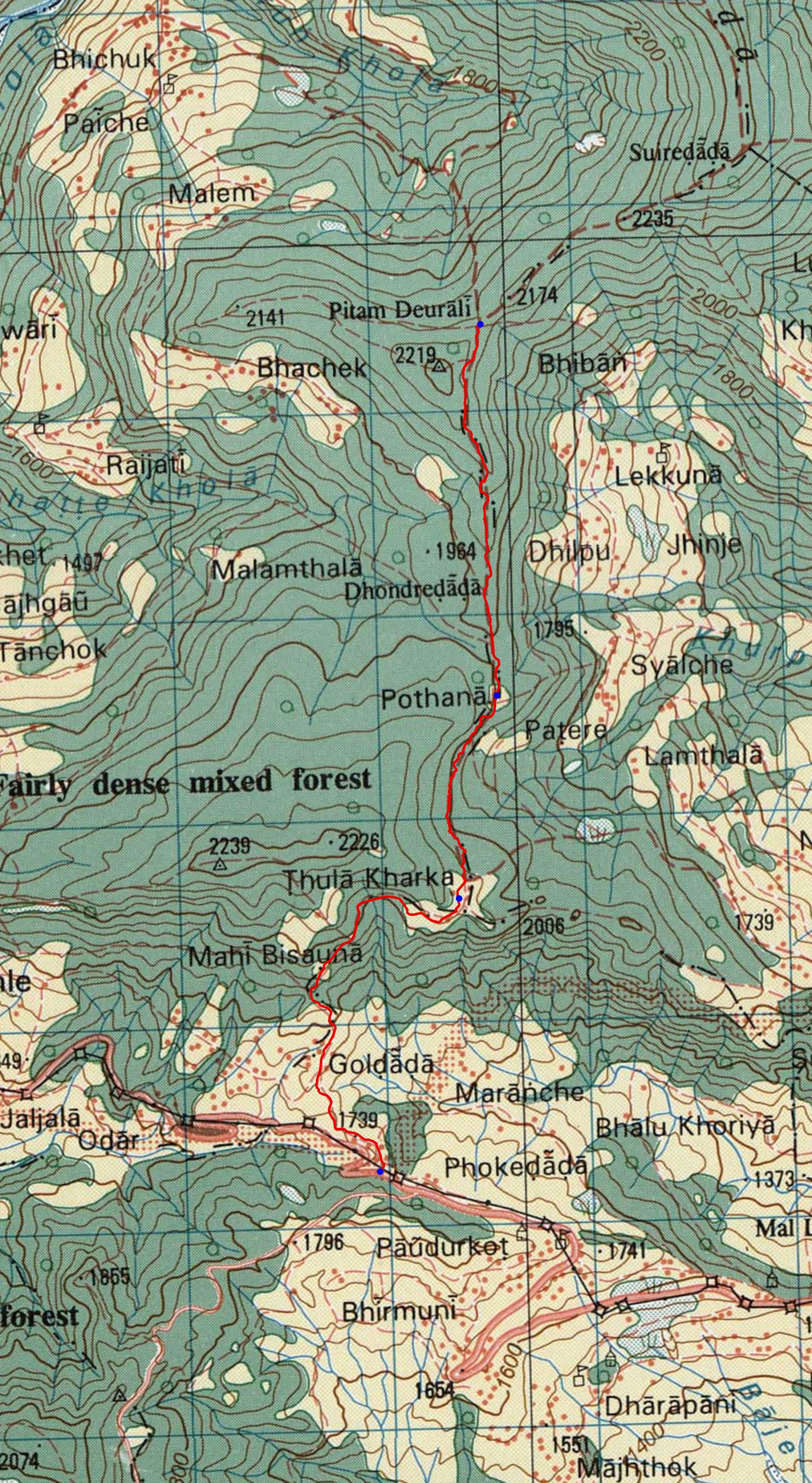
trek/maps/mardi10b_topo.tif