Annapurna Sanctuary Trek 2026 › Trek day 2
Day 2: Ulleri to Ghorepani
Tue 22 Sep 2026 · trip day 5 · itinerary PDF
From the itinerary
Start
2,050 m
Finish
2,860 m
Distance
~10–12 km
Gain
+810 m
Time
5–6 h
A steady climb through dense rhododendron and oak forest on an old Himalayan trade path — moss-covered trees, waterfalls and cool mountain air.
Small teahouses and occasional clearings with views toward snow peaks. Ghorepani is a historic settlement on a ridge beneath the surrounding summits.
Early dinner and preparation for the sunrise hike to Poon Hill.
Tip: Nights are noticeably colder now — keep warm layers easily accessible in your daypack.
Route
Download GPX Ulleri → Banthanti → Nangethanti → Ghorepani
Computed from the track (OSM routing, Copernicus GLO-30 elevations, 20 m hysteresis for gain/loss):
Distance
7.8 km
Gain
+970 m
Loss
−140 m
Start
2047 m
Finish
2877 m
High point
2878 m
Elevation profile
Maps
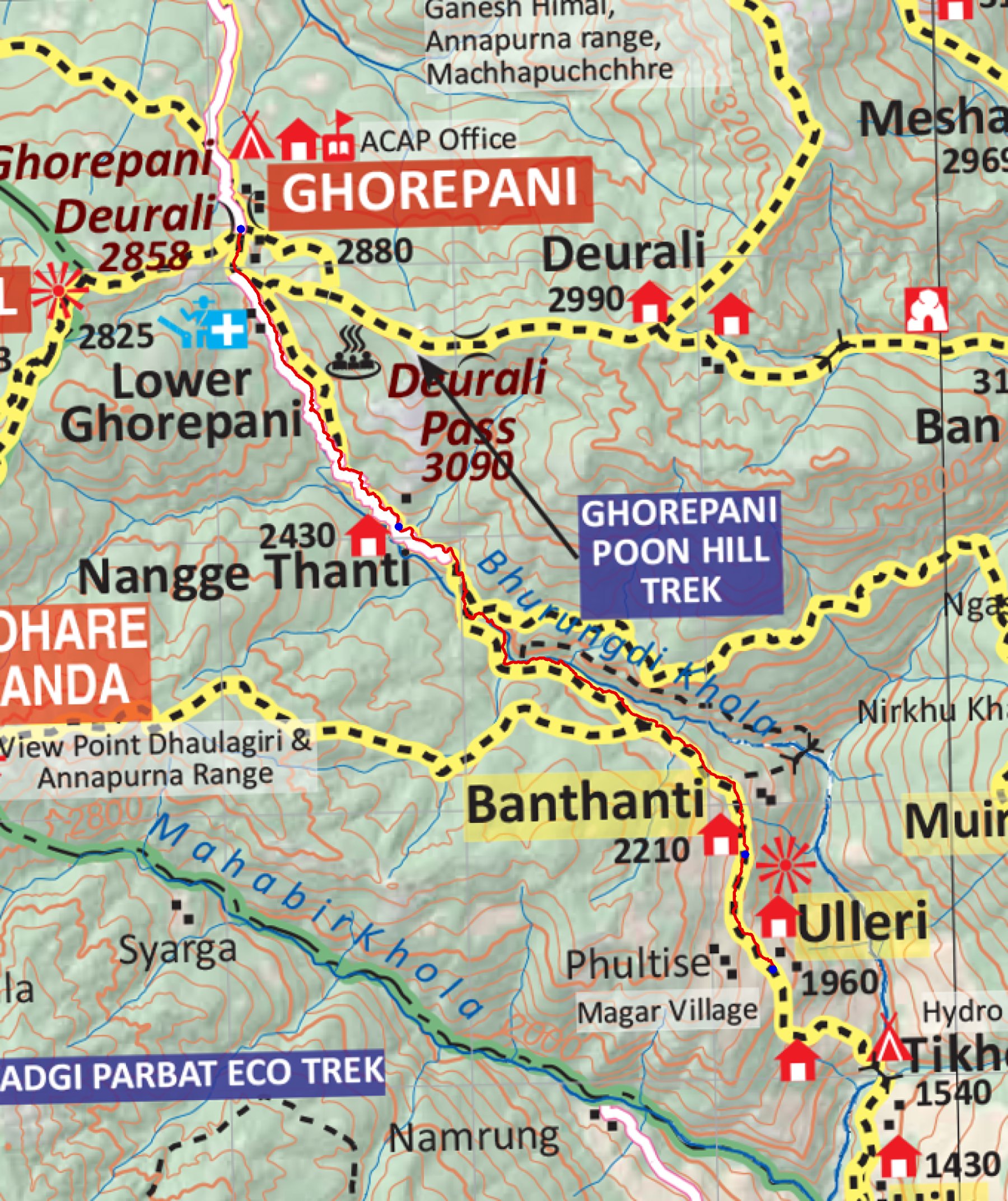
trek/maps/day02_np107.tif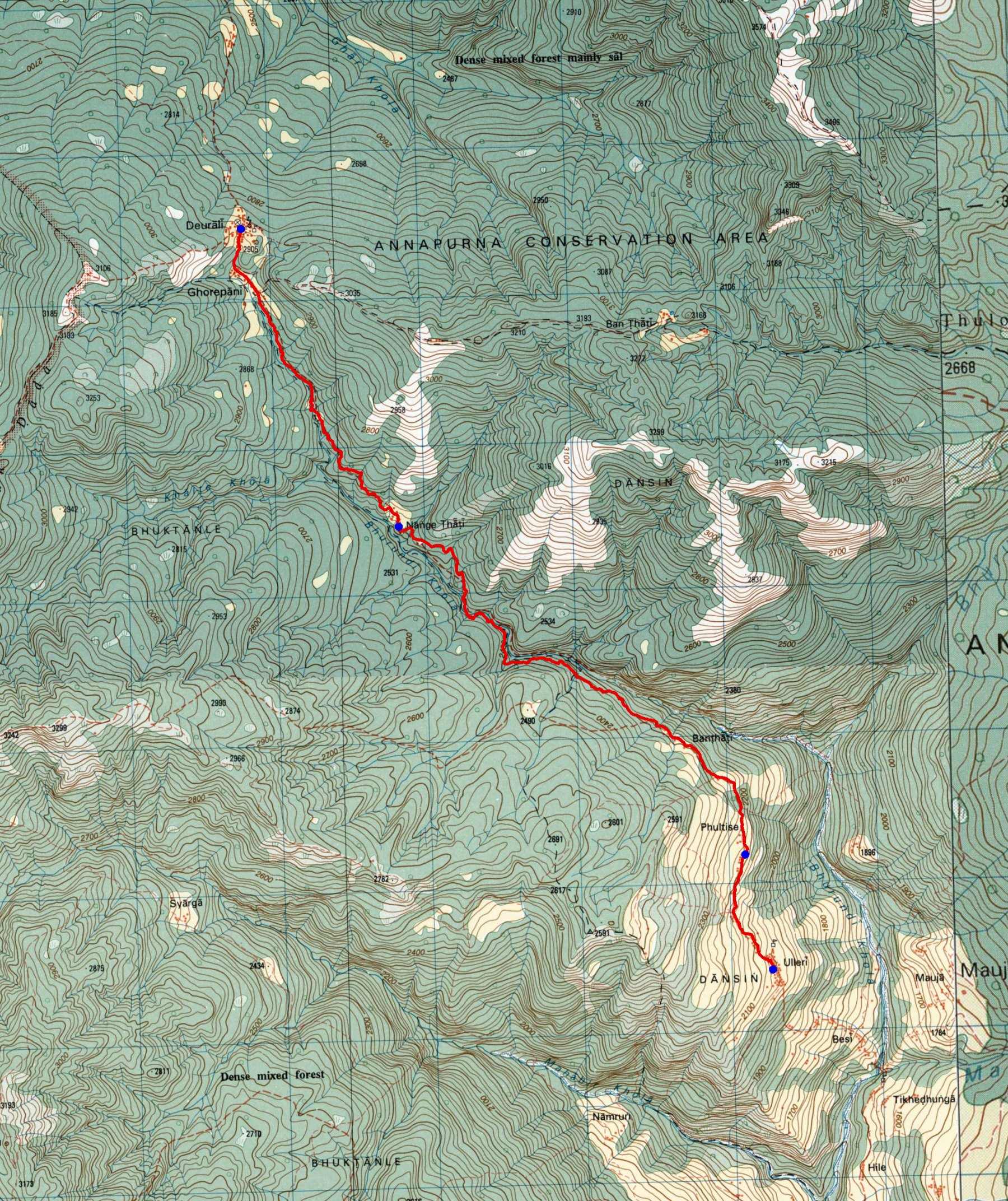
trek/maps/day02_topo.tif