Annapurna Sanctuary Trek 2026 › Trek day 3
Day 3: Ghorepani - Poon Hill - Tadapani
Wed 23 Sep 2026 · trip day 6 · itinerary PDF
From the itinerary
Start
2,860 m
High point
3,210 m (Poon Hill)
Finish
2,630 m
Time
6–7 h
Pre-dawn climb to Poon Hill, one of Nepal's most famous viewpoints: Annapurna South, Annapurna I, Dhaulagiri and Machhapuchhre light up at sunrise.
Breakfast back in Ghorepani, then forested ridgelines toward Tadapani through rhododendron forest and clearings with mountain views.
Tadapani is a quiet settlement surrounded by dense forest and dramatic Himalayan scenery.
Tip: Mornings can be freezing at Poon Hill — wear gloves and a warm outer layer for the sunrise climb.
Route
Download GPX Ghorepani → Poon Hill → Ghorepani → Deurali Pass → Tadapani
Computed from the track (OSM routing, Copernicus GLO-30 elevations, 20 m hysteresis for gain/loss):
Distance
11.0 km
Gain
+900 m
Loss
−1090 m
Start
2877 m
Finish
2688 m
High point
3208 m
Elevation profile
Maps
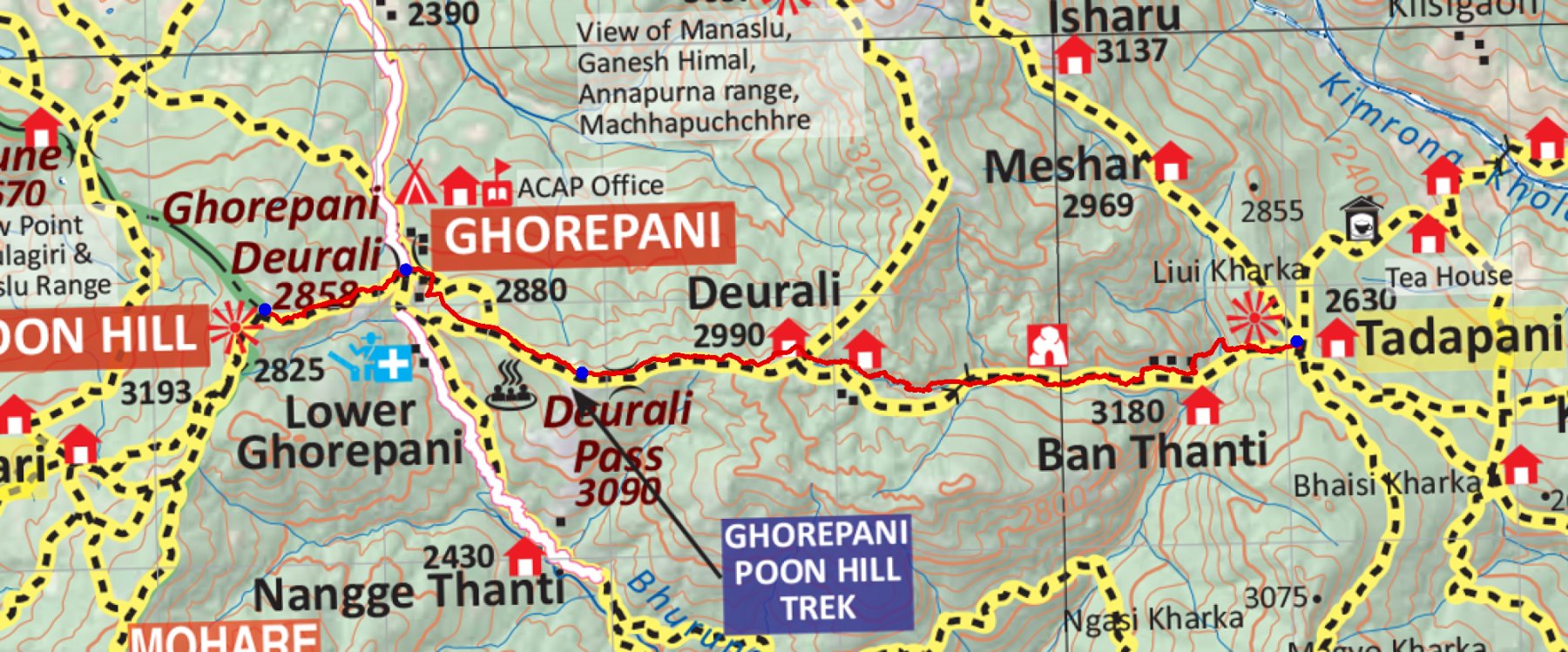
trek/maps/day03_np107.tif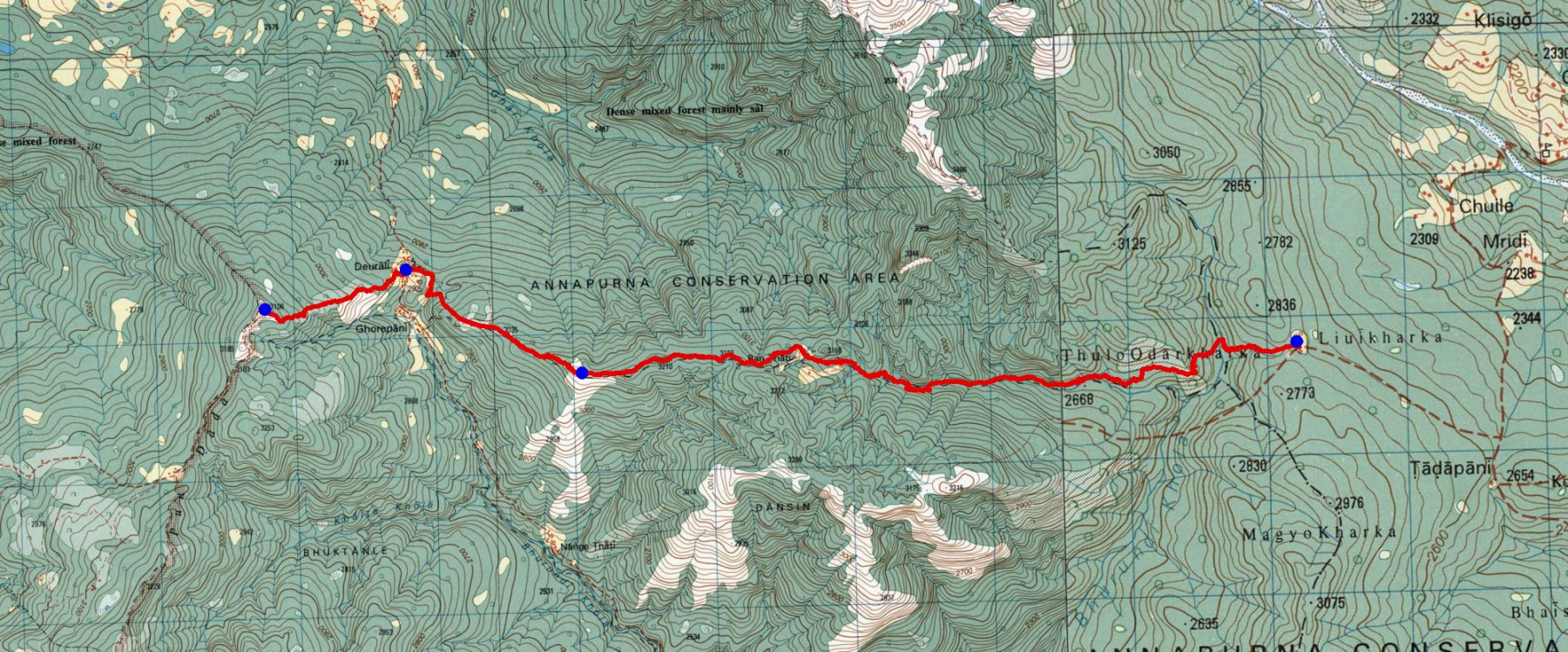
trek/maps/day03_topo.tif