Annapurna Sanctuary Trek 2026 › Trek day 5
Day 5: Chhomrong to Bamboo
Fri 25 Sep 2026 · trip day 8 · itinerary PDF
From the itinerary
Start
2,170 m
Finish
2,310 m
Time
5–6 h
The trail drops steeply down stone steps toward the Modi Khola, crosses a suspension bridge and climbs back into thick forest.
A quieter, more enclosed section of the valley: bamboo forest, waterfalls and steep cliffs overhead. The climb is steady with regular teahouse stops.
Bamboo is a peaceful settlement tucked deep within the forested valley.
Tip: The valley becomes more humid and shaded — keep a rain jacket handy even if the morning begins clear.
Route
Download GPX Chhomrong → Sinuwa → Bamboo
Computed from the track (OSM routing, Copernicus GLO-30 elevations, 20 m hysteresis for gain/loss):
Distance
6.7 km
Gain
+620 m
Loss
−320 m
Start
2000 m
Finish
2304 m
High point
2469 m
Elevation profile
Maps
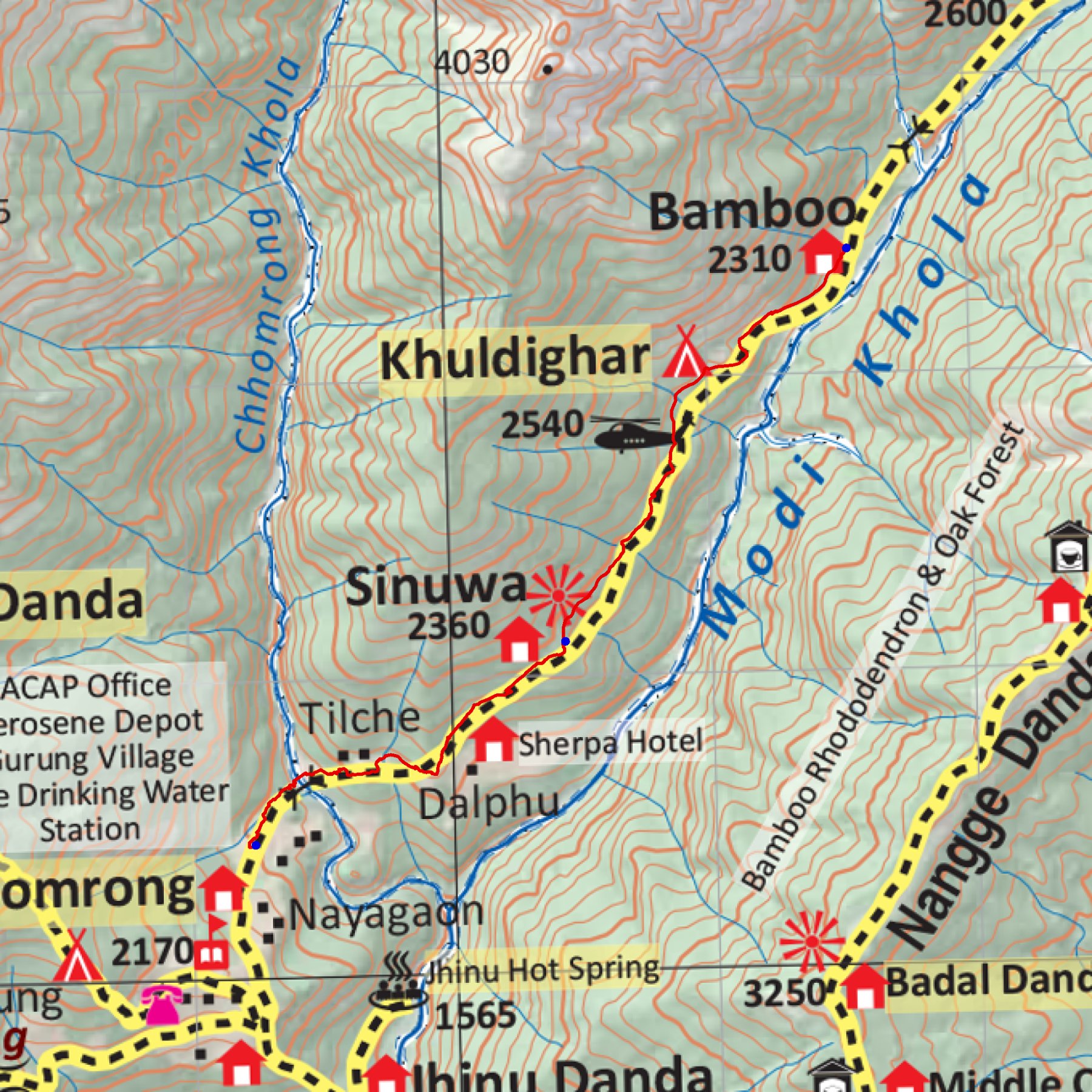
trek/maps/day05_np107.tif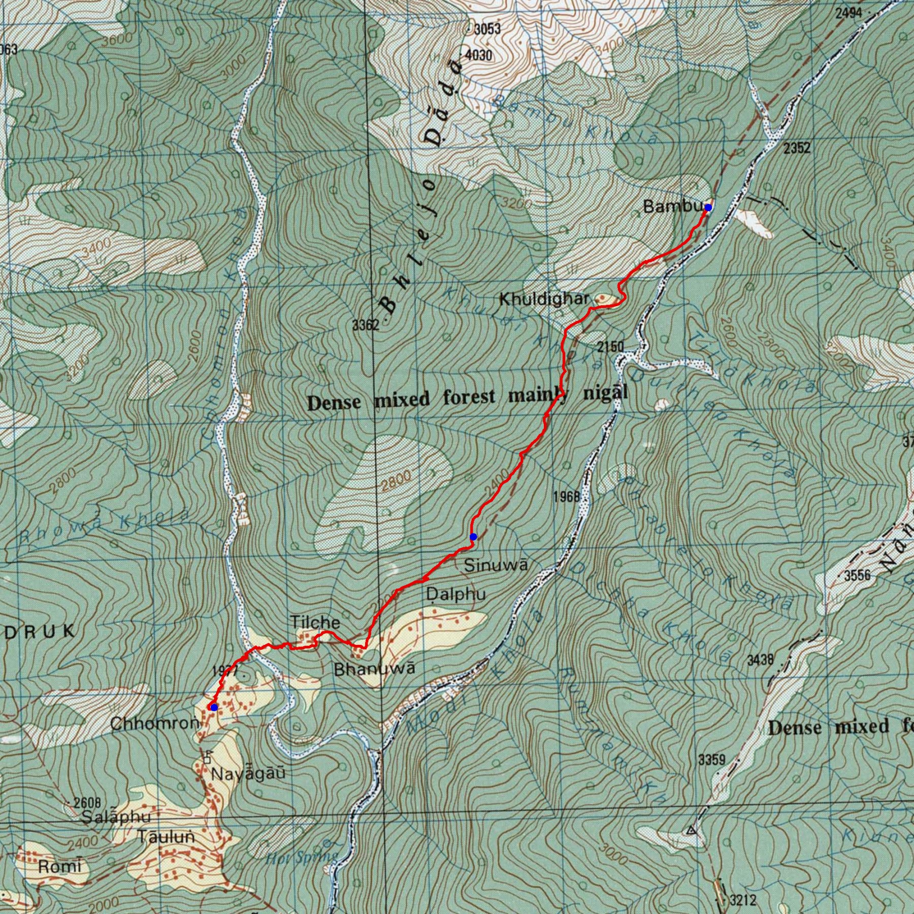
trek/maps/day05_topo.tif